South County Bike Path
The South County Bike Path, also known as the William C. O'Neill Bike Path, is the state's fourth-longest bike path, stretching 7.8 miles from Kingston Station in the village of West Kingston in South Kingstown to Mumford Road in Narragansett. The path connects to on-road routes for access to the Narragansett shoreline. Get Map »
Construction History
The bikeway has been built in three phases since 2000.
Chronological Listing
- 2000: Kingston Train Station to Rodman Street, South Kingstown (4.1 miles)
- 2003: Rodman Street to Route 108 (Kingstown Road), South Kingstown (2.9 miles)
- 2011: Route 108, South Kingstown, to Mumford Road, Narragansett (0.8 miles)
- 2019: Construction complete on a 2-mile connector from the main bike path to West Alumni Avenue on the University of Rhode Island campus (close to the Ryan Center).
- 2020: Construction underway on a 0.3-mile extension from Mumford Road to the Narragansett Community Center.
Path Features & Riding Experience
The path is largely built on the former right-of-way of the Narragansett Pier Railroad, which dates back to 1876. After railroad operations ceased in the late 1960s, many ideas were considered for the corridor. The late Senator William C. O'Neill was instrumental in advocating for the railroad's re-use as a bike path to make it safer for children to ride a bike to school. Learn more about the path's history.
As the path follows the former rail corridor, it is mostly flat with a gradual slope down heading from west to east.
Read More
- Beginning at Kingston Station, your ride briefly runs alongside Amtrak's Northeast Corridor with some historic railroad features on site.
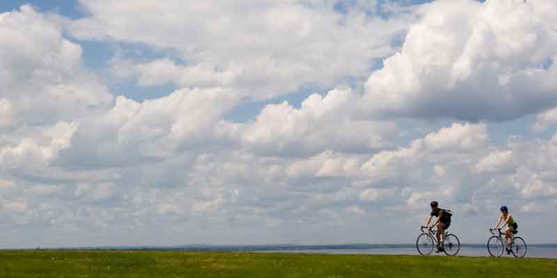
- The path soon crosses into the northern edge of the Great Swamp Management Area, providing you with many scenic views. Park benches are available so you can stop and enjoy the landscape.
- In this stretch a new 2-mile path begins on the left, or north side of the path. This path provides a direct connection to Route 138 and the University of Rhode Island Kingston campus, ending near the Ryan Center.
- Continuing along the main path heading east, the path passes through residential areas as it passes South Road and Curtis Corner Road before heading into a forested area.
- Keep an eye out for signs for the town's Tri-Pond Park, with a network of walking paths and footbridgs around three ponds.
- Approaching Route 108, the path drops in elevation using a series of switch backs that's safely navigated by walking your bike.
- Next you'll pass through the village of Peace Dale, briefly leaving the path to follow an on-road segment on Railroad Avenue.
- After getting back on the path at Church Street, you pass along Riverside Cemetery. The clearing offers views of church steeples and other buildings in Wakefield, South Kingstown's largest village and commercial hub.
- The path crosses the Saugatucket River and leads directly to Main Street in Wakefield with many shops and restaurants. A rest area is available here.
- After passing underneath Woodruff Avenue, you ride through a residential area before again hitting a commercial district along Route 108.
- The bikeway crosses Route 108 and follows an on-road route down MacArthur Boulevard. The off-road path segment is located on the right as the road bends sharply to the left.
- The off-road section follows a sweeping curve and then passes through a tunnel under Route 108, which is a public art space.
- The path enters Narragansett and passes through a remote wooded section before ending at Mumford Road. By taking a right, you can link to Route 1A (Kingstown Road) and use an on-road bike route to reach the ocean or the Narragansett Pier area. A new section under construction by the town of Narragansett wull extend the path to the Narragansett Community Center.
Maintenance Questions
Spot graffiti, trash, or other maintenance problems? Contact the South Kingstown Recreation Department at (401) 789-9301 or the Narragansett Parks and Recreation Department at (401) 782-0658.
Parking Information
Directions to public parking along the bike path.