Fred Lippitt Woonasquatucket River Greenway
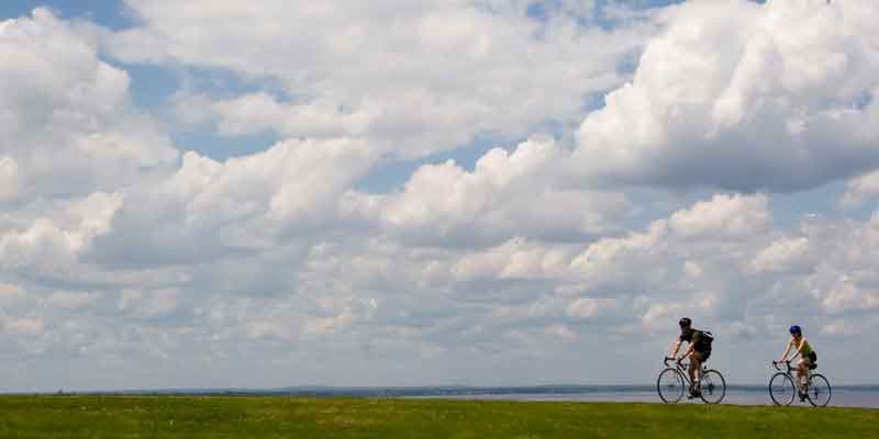
The Woonasquatucket River Greenway provides a vital link for biking to work or school for residents in Providence and Johnston. Through a series of on-road routes and off-road paths, you can ride 5 miles from Lyman Avenue in Johnston into the heart of our capital city, linking up directly to the Providence Riverwalk at Providence Place Mall. The on-road segments are recommended for experienced cyclists with busy road crossings. Get Map »
Construction History
The bikeway has been built in phases since the early 2000s.
Chronological Listing
- 2002: The first on-road segment opened from Donigian Park on Valley Street to Providence Place Mall (1.4 miles)
- 2007: Completion of first off-road segment from Aleppo Street in Providence to Lyman Avenue in Johnston (3.6 miles)
- 2014: Additional off-road spurs off Valley Street and near Merino Park, both in Providence
Path Features & Riding Experience
The path is one piece of the Woonasquatucket River Greenway Project, created in the early 1990s by Fred Lippitt, then chairman of The Providence Plan, who earlier served as a State Representative. Lippitt championed the cause to spur development of abandoned industrial sites, to support the underserved neighborhoods in the Olneyville area, and highlight the river. Learn more about the path's history.
Read More
- The path runs on dedicated bike lanes in the shoulders on Promenade Street (westbound) and Providence Place (eastbound), beginning at the Providence Place Mall at Park Street. Use caution along this route, as it is heavily trafficked.
- Special green crosswalks have been added to the busy intersection with Dean Street and Pleasant Valley Parkway to delineate the path for bikes.
- Heading west, follow Promenade for one block, then turn left on a bridge over the river, then right onto Kinsley Street.
- At Eagle Street, the path runs off-road behind the Eagle Square shopping plaza in three short segments.
- Pick up an on-road route through a residential neighborhood on Tuxedo Avenue and Amherst Street before meeting busy Valley Street.
- An off road segment begins here, into Donigan Park and behind the Rising Sun Mills and ending at Sonoma Court, which connects to Delaine Street.
- Delaine Street is largely residential, and connects with another segment along a busy roadway - this time Manton Avenue.
- Turn right onto Manton Avenue, then Bear left onto Aleppo Street to the start of the off-road trail. This area has a large neighborhood playground and small boat launch for the river.
- The path is all off-road from here, running parallel to Route 6 with many trees and bushes blocking the view and noise of the highway. A side trip takes you over Route 6 on a large footbridge the Merino Park recreation area.
- In a short distance, you'll pass Button Hole Golf Course, site of a former dump that has been restored to a driving range and par-3 golf course. A spur path runs around the perimeter of the course.
- After crossing Manton Avenue, you enter Johnston. You are treated to glimpses of two large ponds - actually segments of the Woonasquatucket River - close to where your ride ends at Lyman Avenue.
Maintenance Questions
Spot graffiti, trash, or other maintenance problems? Contact the Woonasquatucket River Watershed Council at (401) 861-9046.
Parking Information
Directions to public parking along the bike path.