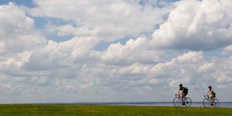
Blackstone River Bikeway
The Blackstone River Bikeway is the state's second-longest bike path, with 18.2 miles of bikeway - which includes 11.6 miles of path between Cumberland and Woonsocket and segments of on and off-road bikeway heading south to India Point Park in Providence and north to the Massachusetts border.
Get Map »
Experienced riders can find their way from the end of the off-road bikeway in Cumberland to India Point Park in Providence (connecting to the East Bay Bike Path) through a series of on-road routes marked with share-the-road markers called "sharrows."
There will be four bike path segments across Woonsocket, connecting the main bikeway ending at Davison Road in Woonsocket to the Massachusetts border. One is open, one is under construction and the other two are under design.
View Map »
Construction History
The bikeway has been built in many phases since 1998.
Chronological Listing
- 1998: Front Street to the Ashton Viaduct, Lincoln (3.3 miles)
- 2001: Ashton Viaduct, Cumberland, to New River Road, Lincoln (3 miles)
- 2002: Ashton Bikeway Bridge, Lincoln and Cumberland (0.1 milet)
- 2005: Former Lonsdale Drive-In, Lincoln, to Pratt Dam, Lincoln (0.9 mile)
- 2006: Blackstone River Bikeway Visitor Center (off I-295 North) (0.6 mile) to main path
- 2007: New River Road, Lincoln, to Woonsocket Water Treatment Plant, Woonsocket (2 miles)
- 2007: Berkeley-Martin Bridge reconstruction removes at-grade crossing of bikeway and busy street, Lincoln
- 2008: Through River's Edge Park to Davison Avenue, Woonsocket (0.9 miles)
- 2008: Former Lonsdale Drive-In, Lincoln, to Heritage Park, Cumberland (1 mile)
- 2009: Woonsocket Water Treatment Plant to River's Edge Park, Woonsocket (0.4 miles)
- 2011: Pitman Square, Providence to Pawtucket Landing, Pawtucket (4.1 miles)
- 2015: Pawtucket City Hall segment, Pawtucket (0.1 miles)
- 2017: Gano Street, Providence, to Pitman Square, Providence (0.7 miles)
- 2018: Cold Spring Park, Woonsocket, to Meadows Park, North Smithfield (at Mass. state line) (0.6 miles)
- 2019: Market Square, Woonsocket, to Clinton Street, Woonsocket (0.5 miles)
- 2020: Gano Street, Providence, to India Street, Providence (0.2 miles)
Path Features & Riding Experience
The path follows the Blackstone River wherever possible, including on the tow paths of the historic Blackstone Canal. This highly scenic bikeway crosses the river many times, offering views of waterfalls, marshes and wildlife. Many old mills line the river too, evidence of the impact of the Industrial Revolution that earned the Blackstone the title of the "hardest-working river in America." Learn more about the path's history.
Read More
- Starting in Providence at India Point Park, a new segment of off-road path passes underneath the Washington Bridge and links up to another off-road segment that hugs the river and ends at Pitman Square
- Proceeding north, the path follows an on-road route along local roads in the East Side of Providence, Pawtucket, Central Falls and Cumberland. It is recommended for experienced on-road cyclists only.
- Not far from Cumberland Town Hall and Valley Falls Park is the start of more than 11 miles of off-road path. First you'll ride over a 540-foot long elevated boardwalk that allows the bikeway to pass through the Lonsdale marsh in an environmentally responsible manner.
- After crossing Route 123 (John Street), you enter the site of the former Lonsdale Drive-In. The drive-in was demolished and a portion of the land was returned to wetlands to aid in flood control and build habitat for many species that call the river home.
- Next up is a crossing of the large Pratt Dam, including a spillway that is a testament to the power of the river with swift currents during high water periods or after a heavy rainstorm.
- After the dam you'll pick up the original segment of the bikeway, following the Blackstone Canal on the left and the main waters of the Blackstone River on the right.
- Heading north, watch for the striking Berkeley-Martin Bridge, which was reconstructed in 2007 with a modern structure that included a nod to the past with decorative wood trusses. This project also removed an at-grade crossing of the bikeway and now riders pass under the busy Martin Street instead of trying to cross it.
- Upon reaching the historic Kelley House and the towering Ashton Viaduct Bridge, you'll cross the river to another path segment on the right bank of the river.
- Next, the path crosses over the Providence & Worcester Railroad line before crossing a decorative iron bridge in the village of Albion.
- Riding again on the left side of the river, you get a great view of the large Albion and Manville dams, riding close to the river.
- Shortly after passing the Woonsocket Water Treatment Plant, the off-road segment ends at River's Edge Park, a large recreation area with ball fields. The path extends through the park to Davison Avenue.
- Four other bike segments continue north through Woonsocket. At late 2019, two segments, one from Clinton Street to Market Square and another from Cold Spring Park to the Massachusetts line were open. The other two segments - from Market Square to Cold Spring Park and from Clinton Street to Davison Avenue - are in design.
Maintenance Questions
Spot graffiti, trash, or other maintenance problems? Contact the R.I. Department of Environmental Management, Division of Parks and Recreation at (401) 667-6200.
Parking Information
Directions to public parking along the bike path.
Directions to Parking Lots
- Blackstone River State Park, Front Street, Lincoln
- Former Lonsdale Drive-In Parking, John Street, Lincoln
- I-295 Visitor Center parking, Lincoln
- Capt. Wilbur Kelly House, Lower River Road, Lincoln
- River's Edge Park at Davison Avenue, Woonsocket
- River Road, Manville, Lincoln
- Route 116 parking area (George Washington Highway), Lincoln
- School Street, Albion Village, Lincoln
- Front Street, Cumberland

